Road Closures, Permits and Roadworks
Bland Shire Council Road Condition Report
All unsealed roads within the Bland Shire Council area are open to all vehicles.
Updates on all affected roads will be provided on Council’s website and Facebook page as information becomes available.
Further information can be provided by emailing council@blandshire.nsw.gov.au or phoning Council’s Assets and Engineering Services Department on (02) 6972 2266. This number is also to be used for updates after hours or on weekends.
If you need to report a roads issue contact Council on 02 6972 2266 so the matter can be assessed in the most efficient and safest way possible. This number is also to be used for updates after hours, or on weekends.
For non-urgent issues you can also email council@blandshire.nsw.gov.au and your enquiry will be registered, relayed and responded to within a reasonable time.
Please do not report dangerous or emergency matters through Facebook.
In the event of a life threatening emergency contact Triple Zero 000.
Heavy Vehicle Notice
All Bland Shire roads which have approval for A-Double and Modular B-Triple combinations have a Mass Limit of 82.5 tonnes. During the operational period of the Grain Harvest Management Scheme this limit is increased by 5%, bringing the Mass Limit to 86.6 tonnes for that period.
All other roads within the Bland Shire local road network are approved for B-Double access (excluding residential) with a Mass Limit up to 62.5 tonnes. This limit increases by 5% during the operational period of the Grain Harvest Management Scheme to 65.6 tonnes.
Operating above these limits is an offence unless Bland Shire has approved a permit upon application to the National Heavy Vehicle Regulator (NHVR). It should be noted that Bland Shire Council will only issue permits in exceptional circumstances.
You can apply to the NHVR here
It is also an offence to travel over the conditional speed limit of 80km/hr, and to travel on the unsealed road network when the roads have been closed due to weather conditions.
Flash flooding can occur in Bland Shire.
If you come across a flooded road, simply stop and turn back. Never drive, ride or walk-through floodwater. Motorists are advised to drive to the conditions.
As soon as road closure information becomes available Council will seek to post this on its Facebook page and website. However, Council can only provide accurate and up to date
information on the status of local roads under its control.
For information relating to State Roads, please visit the Transport for NSW Live Traffic website at
https://www.livetraffic.com/ or download the free NSW Live Traffic app, available on the Apple App Store or Google Play Store.
Bland Shire Council is unable to provide up to date information via Facebook Messenger, or respond to comments or questions on our regular road status update posts. Facebook comments will be closed on future road condition reports, which are intended for information purposes only.
Council is committed to providing its community with the most up to date and accurate information available about the status of local roads and once the status changes it will be posted and/or updated on Facebook and Council’s website.
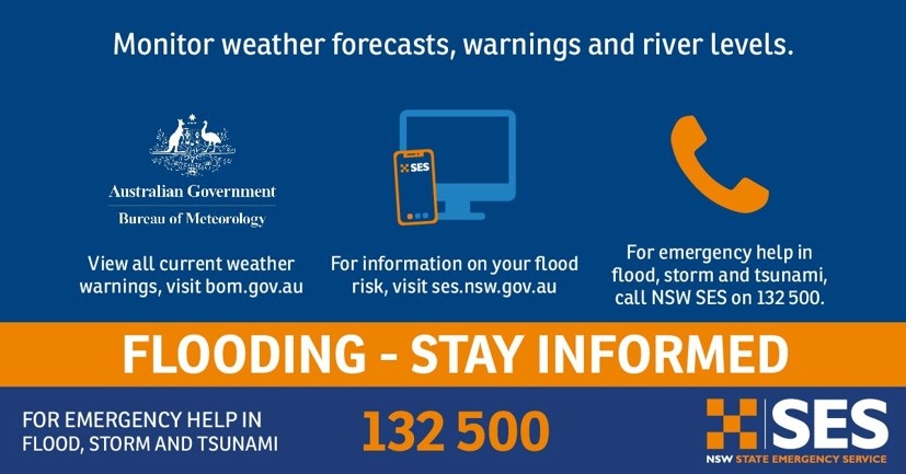
For help in a flood, storm or a fallen tree contact NSW State Emergency Service on 132 500.